When clicking on images
in
this page, you get a larger version in an image viewer, BUT in the same
window -- it may be preferable to use the browser facilities to open
the link in another window or tab (right- or centre-click, depending on
your browser type) |
 |
Day 1: August 2nd
It is early afternoon when we set for good on the trail. We could not
get precise information on the state of the fords (this is the big
unknown), but on the other hand, the weather is still dry, some showers
foreseen, but a marked improvement expected in the coming days.
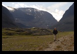
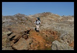
There is no problem with finding the track here (nothing like Sarek),
and it starts as a wide path, which ascends quickly (that is, after we
backtrack from the train station).
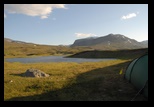
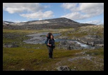
After a while the weather deteriorates a bit,
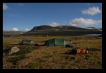
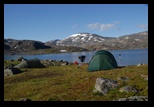
and we have just the time to set the tents (Glenn is
joining us this year again) after reaching Lake Kattejaure
(on the border with Norway)
|


|
Day 2
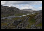
The morning is
clear, and we start on the path south. Just at the end of the lake, big
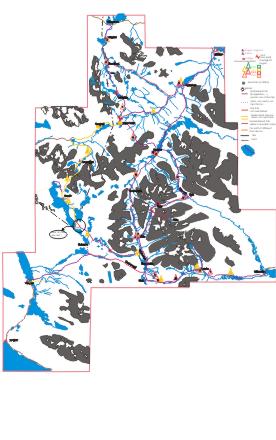
orange marks suggest a change in path (you can see it if you enlarge
sufficiently the map), which crosses some hills rather than hugging the
river. (after looking from the other side, it seems indeed preferable).
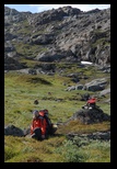 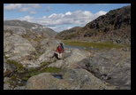 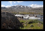
After this, the path
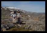
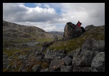
starts climbing again, until we reach the area of Stuor Kapel
(shelter). We backtrack a few hundred meters to find a suitable tent
site.
-- - - - - - - - - -------- --------
As we meet
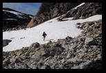
oncoming trekkers, we inquire about the fords, and learn it is
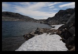
feasible, but are warned against a patch of snow along the lake, where
a child tripped and had to be recovered from the water.
This is the right time to have the info, since this is were an
alternate path to the south-east branches -------------------------
|
|
Day 3
We get a
beautiful weather to start the day, but clouds are coming, and we want
to get over the pass and the ford as soon as possible.
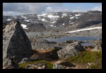
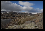
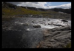
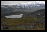
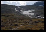
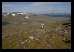
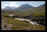
We cross the pass, it is rather rocky, and there is a step above the
rushing water flowing off from a lake,
but nothing dangerous. Impressive scenery, though, and well worth the
trip.
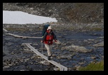
On the way down the valley, a first line of water needs to be crossed,
before we get to the broad river/lake complex.
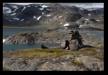
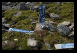
A few crossing points are suggested by cairns, or sticks. We choose a
moderately wide one, quite shallow, except for a tongue of deeper water
running on the opposite side, and a landing on big rocks.
(there is at least another path, in a much broader area; the depth is
probably more than one would like in rushing waters, but the flow is -
on this time and day- not as violent as we have met in glacier streams.
These fords are well-known to be impossible to use in very wet periods,
so it is best to get all the info possible before getting on the
path. After the ford, we settle for lunch on some large table-like
stones, and start to see the first signs of on-coming rain.
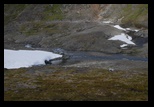
We meet a large, quite steep snow patch sloping into the lake,
and choose to take an upper line to cross it (remembering the warning
we had received)
We keep going, and make a short stop (and some fire) in an ungarded
shelter, before continuing our path.
We settle for camp on a small hill on the edge of marshland (a few
mosquitos), after passing the remains of the main directional panel.
|
|
Day
4 : through Unna Allakas
We start
again, under cloudy skies ... looks like we will always see Unna
Allakas under the rain!
The path is easy, with one easy stream crossing before joining the main
valley.
Some
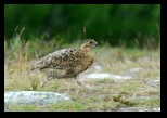
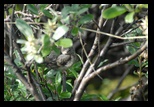
Ptarmigans are running among the rocks.
We stop for lunch in Unna Allakas under a starting rain, which rages
during our break. Later in the day, the skies clear a bit and we get
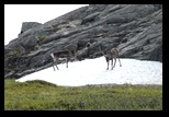
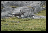
under way for another pass crossing on the way to Allesjaure. Close to
the hut , some reindeer are seeking the cold of snow patches
Once
again, the path raises above the valley and we get
an
impressive view. The weather is now clear, but the wind cold,
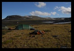
particularly as we near the pass, and we settle for camp and some rest.
|
|
Day 5: to Allesjaure
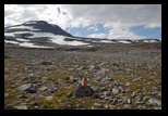
It is a spectaular walk
from our camp, through the pass (a spectacular mix of stone and
snow field)
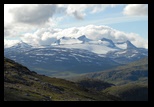
and progressively we discover on the other side the Allesjaure valley,
with a view on the Kungsleden surroundings.
the descent is spectacular, but the approach to Allesjaure, once in the
valley, seems tedious (we will learn later that it is a newly opened
path - not really settled yet - and that it was created to saveguard
some reindeer pasture.
Allesjaure is an extensive set
of cabins, with one of the most spectacular saunas (although it is
quite a climb down to splash in the river). Water is pumped
automatically through a mechanical pump activated by the river. Since
we arrive before bastu (sauna) time, I take the opportunity for a few
pictures.
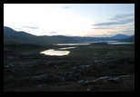
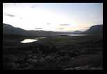
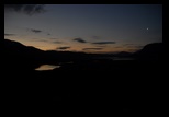
We stay in one of the huts. The night
is very clear, and a few pictures show that it nerver gets completely
dark.
|
|
Day 6 : back
on the Kungsleden
The weather is quite nice
the next day, and we set for the much-trodden track of the Kungsleden.
It is actually quite pleasant here, (the track is much damaged in the
Singi area), and quite flat to begin with.
We choose to bivouac before the next hut, actually before the track
really starts to climb, as we heard it is difficult to find a tent spot
higher. (which we checked indeed)
We settle on the low hills surrounding a lake, in the plain
|
|
|
Day 7: Tjaktja
The track climbs, and
passes at some distance form Tjaktja stugan, before reaching for the
pass.
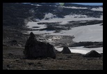
By now, the clouds are assembling, the wind picks up while we cross a
desolate area all made of dark , rather flat stone fields.
At the pass, a small shelter attracts a handfull of fellow trekkers. We
don't stop for long, as the weather shows signs of further
deterioration, and hope the other side will be more protected.
The other side is much greaner, and the descent is pleasant. We get a
nice view of the valley, but rain clouds, and the gray hashing of
incoming rain threaten.
When we have climbed down, and walk in the bottom of the valley, we see
the rain coming straight at us, and have just the time to pitch our
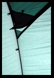
lager tent in "day shelter" mode. This very convenient mode means just
putting the outer part of the tent on its poles, and offers a very good
and wide temporary shelter, where we can rest without worry of getting
our sleeping gear wet.
It takes a few
hours, contemplating pouring rain and gushing winds, before we can set
under way again.
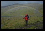
The skies clear a bit, and we are rewarded by a beautifull, full-size
rainbow.
After this, we
reach under intermittent drizzle and small showers the Sälka
stugorna.
Glenn finds shelter in one of the huts, while we pitch the other tent
for the night.
|
|
Day 8: on the way to Kebnekaise
It is still a bit rainy
and cold. We know this part well from previous trips, and it is not the
most pleasant path to travel: the Kungsleden is vastly over-used, and
wherever planks are not present, the ground has deteriorated, with a
puzzle of stones emerging from trampled peat.
We stop for lunch at the Kuoperjakka shelter, which keeps us out of the
cold wind and light drizzle at times. After that, the skies clear
progressively, and we proceed in the direction of Kebnekaise through a
small pass (see previous trips), avoiding the Singi area.
We camp on the other side of the pass, with a very nice view of the
valley, and a small, fast stream close to the tent.
|
|
|
Day 9
Kebnekaise
Not much to say here, better weather, and we follow the usual track to
Kebnekaise.
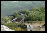
The first part is quite impessive as usual, with a narrow valley with
steep walls, but later opens up with a wide plain, crossed by streams
with a variety of bridges .
We cross some of the faster walkers
of the "classical" fjellraven race, and make way for them!
We pass the
fjell station, and set camp in a small wooded area a few hundred meters
beyond it.
|
 |
Day 10
Nice weather, and a beautiful walk to Nikkaluokta
The first part of
the walk is very scenic (as usual), and follows loosely the rivers.
After that we get to a mixed area (small trees ), and the track becomes
a bit of a roller coaster, small hill after small hill. Some nice
bivouac areas, but we prefer to make directly for the boat, which takes
us
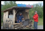
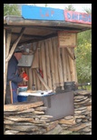
to Nikkaluokta. We camp a last time, just next to a traditional hut,
but only after tasting some of the famous "LappDonalds"
rennburgers.
|
