|
Day 1 : Aug 29th : Gias
del
Mosche, Gias del Saut
Finding the additional
supplies (the usual camping gas bottle, ...) took me longer than
expected, and, despite an early start from Brussels, I only reach Termi
di Valdieri around the middle of the day. After checking some
info about the paths with the park office (and filling my bottle at a
welcoming spring), I take the one-track road to Gias del Mosche (close
to 1500m), the start of the path to ref. Bozano (2453m). The sun
is quite strong, even if there is a nice breeze. For some reason, I
tend to follow a side track, which climbs straight through the forest,
benefiting from the shadow, but find myself quickly in a complete maze
of (probably animal) trails. After a while, this meets back
the main, well maintained path - this is a favorite trip for climbers,
whith several routes above and around the refuge. As usual, for a first
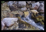
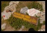
day, I stop early (before the refuge) at the last water available
(there is a good stream, but a few meters higher it disappears under
the rocks (scree).
 
I know how frustrating it is when
trekking to hear the water flowing a few meters below, while walking on
such a scree. (boulders).
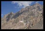
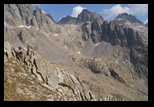
I thus settle for the night, below the magnificent scenery of the
Argentera on one side,
and with the ridge of the Madre de Dio (a side-chain which
meets the Argentera) in the West. |


|
Day 2 Through the Madre de Dio
to Ref Remondino
The next
morning is a glorious day. In fact, the sun is so powerful that my
suncream proves insufficient, and I end up wearing long sleeves most of
the time.
The climb to Ref Bozano is pleasant, and still in the shadow. It turns
out that the refuge keeper is the brother of the already praised
Alladar (from Pagari) - indeed , I remember seeing pictures from this
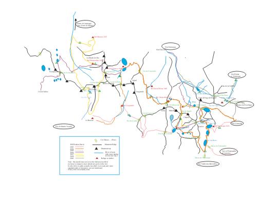
refuge in Pagari! I get good advice about the path (dotted line on the
map, meaning meant for walkers with some experience) leading across the
Madre de Dio ridge to ref. Remondino. Water on the way is a chancy
proposal (turns out I will find a stream before the ridge), so I
re-supply.
The ref. Bozano has an impressive location, and an even more impressive
backdrop of cliffs (where the climbers have great fun).
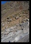
I lunch at the last water stream, on polished rocks, with the ref
Bozano still in view, lost in the middle of the scenery.
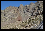 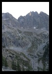  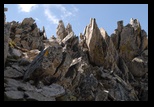
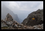
The next step is to cross the
needle-sharp ridge (an easy matter in fact, through cracks in those
very fractured rocks) of the Madre de Dio, after which it is a
succession of ups and downs (sometimes a bit exposed) to get across a
succession of secondary ridges and small passes.


My old map indicated a descent to
avoid the last contreforts, but it has been replaced (as correctly
indicated on the more recent Italian maps) with an itinerary quite a
bit higher , the last part
of which is secured by ropes. (it is a bit exposed, but quite
safe!).
Finally, a long scree crossing leads to Remondino, where, as before, I
set my tent on a flat terrain somewhat above (and out of view from) the
refuge.
|


|
Day 3
: Along the Brocan to Col de
Mercantour
I had taken before the path trough
Col de Brocan to get in the next valley, and had then noticed a
branching point
to Col de Mercantour. This latter path is not mentioned on the maps,
but good
markers exist all along, and it is a much more scenic way to get there,
than to get back down to the valley.
This morning, the weather is rather nice, although with patches of
mist. I already described the first part (to Col de Brocan), but the
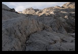
magic of the wide scenery, once emerging from the initial climb into a
flatter area, but crowded with big boulders.
 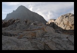

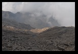
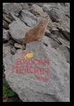
A clear sign on a rock indicates the
branching, and from there, the path is almost level (somewhat
downwards, in fact), doing a large arc circle below the Brocan summit
to reach
the Col de Mercantour. It is a very barren area, until one
reaches the French side (past the pass), where some quite lush
vegetation comes almost as a surprise. The Mercantour itself is just
clouding in mist.
 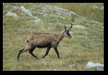
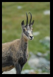 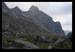 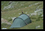
After passing the "col", the weather
progressively clears up (but the air stays quite cold).
This is the perfect opportunity to set camp, next to a branching river,
among flat grass where some erratic huge boulders have rolled. No
surprise: the area is heavily populated with chamois, even less shy
than usual.

|
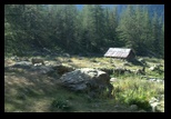
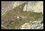
the dired-up "lac de cerise"
branching point to Lac de Mercantour
|
Day 4
: Col
du
Mercantour to Lac de Cerise and Lac du Mercantour
Another bright
day -- actually getting quite hot. The plan (instead of going through
the crest line) is to go down this valley, to the "Vacherie des Erps",
(not far for Le Boreon), and climb back through the Lacs de Cerise, a
well-established itinerary. (I seem to like collecting passes -cols- in
those trips, and it is true, I like the sudden contrast when one gets
from one face to the other, even more probably than the wide view from
summits). The descent is pleasant, and by the time
the weather really heats up, I have reeched a (steep) forest, where the
shadow is nice. It feels a bit strange to get back "to civilisation" at
the middle of the path, as there are quite a few people on day trips
around. The "vacherie" is essentially a ruin, but marks the moment to
turn (along a well established path, -- actually the branching point to
"col de Cerise" is later marked).
Using an older map, I met with a little problem, as the altitude of the
vacherie was overstated - in fact checking the level curves
solved this. While it is elsewhere impossible, there is access to
celular phones here - nice to know if one has to touch bases - but it
is also possible to phone on a fixed line from most Italian refuges.
Here the climb starts again in the forest, until it crosses a stream
(wooden bridge): this is practically the last water point before
the pass. (good place to lunch). I enquire indeed about the
lakes, and am not surprised to hear that the Lac de Cerise is now dry.
(of course, there may be water running several meters below the
boulders, but nothing reachable. (see picture)
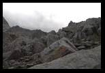
It is again a very arid and stony landscape. My goal is to bivouac at
Lac du Mercantour. I have heard that the path is no longer marked, and
can be missed. In fact, I end up veering a bit early to the right,
following a short cut along a moraine (I don't recommend it , there is
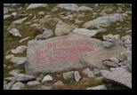
no real advantage), but include here a picture of the real path
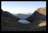
junction (from above). The Lac de Mercantour is finally reached, it is
a small circus of mountains, and locked by a small moraine
forming a dam, from
which there are nice views on the valley.
  
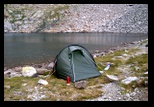
Little space to put a tent. I set mine just at the entrance, close to
the natural dam, and thus quite in line with the wind blowing from the
valley. This pronpts me to put some extra ropes at the front of
the tent, using big rocks as anchors. I am well inspired, since very
quickly the weather
deteriorates, with some small rainy patches first, but a bit later a
major thunderstorm blows on the mountain circus. I am once more
quite happy of the sturdiness and stability of the Hilleberg Nallo2
tent!
After the 2-hour storm, the weather is quite
clear again (if markedly cooler), and it is time for cooking dinner.
|
---------------------
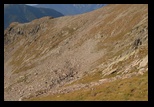
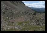
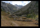
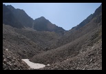
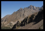
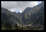
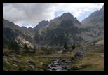
The path , seen from above (the following 3 pictures describe the
approach to the col)
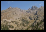
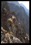
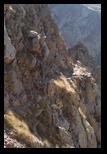
|
Day 5 : Lac du Mercantour, Col du
Mercantour, Termi di Valdieri
After the storm,
the night was nice (if cold), and
the normal path would have been to backtrack to the main path to
Col du Mercantour.... but it was too tempting to try and get
there through the mountain, specially since a partial track was
indicated on the Italian map (not quite reaching the lake though).
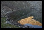 
There are furthermore
some (very partial) cairns. In fact , it is quite
possible to go around the lake (by the left side, from the entrance of
the circus) through some boulders, and then to climb rather
straightforwardly to the ridge. I did most of that climb, and got some
nice panoramas of the lake.
The
path to the col however branches much lower , into the West
direction. It is quite easy among smaller rocks until about 50 m
from the col, where a fairly exposed stretch might deter some (in
particular with my heavy bag, although it is of the "mountain" type,
some care has to be taken). I include a few pictures in the left column
as an indication.
From the col, the way
back to Valdieri is very easy, with a wide mule
path most of the time (but no water till reaching the tree line). The
top part is quite impressive by its exclusively mineral character.
The
trip ends on the road leading to Termi di Valdieri, whith a few looks
at the Argentera range (we are now opposite across the valley), and a
look back, with a much greener scenery.
|
|
Later: A teaser: on the way to Sabbione
From Termi di
Valdieri, I drive to Entracque, and stay in Hotel Miramonti as usual
(I like the friendly
atmosphere, and the simple but very good food, perfectly adapted to the
montain trips)
and don't resist the
temptation to have another go at the Via Ferrata.
I was lucky with the
weather, since now the valley is still pleasant, but the summits stay
clouded.
Before a short (and
disappointing) trip to the Ligurian cost (a rather long trip, but a
crowed area, with high prices and almost no public beaches---
Ventimiglia was even a better solution) I make use of the car for a
first incursion above Entracque itself,
leading to the Sabbione valley.
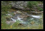
This is a very lush valley
(at least the lower part, which I explored until reaching a little
above the tree line), with a strong river dominating the scenery. The
path is very good (beware, it is a preferred area for mountain bikers,
and they tend to descend at full speed, -- some were even yelling to
get out of the way!)
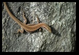
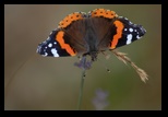
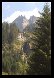
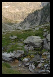
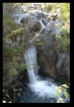
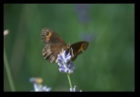
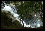
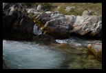
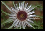
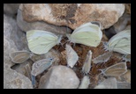
I had plenty of occasion for pictures of the scenery (the already
colouring trees), water, butterflies, and lizards!
|
|
|




 _
_