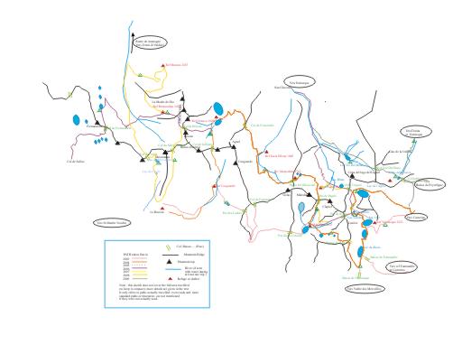
|
Day 1 : Aug 28th : Lacs
de l'Agnel
This is a fairly
standard starting point, from Casterino to the Lacs de l'Agnel (already
used in 2004). A fairly steady climb (most of it on a south-facing
slope) leads to the lakes, and a narrow path along the first (large)
lake to a stretch of grass between the larger and smaller lake.
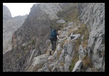
The path is obviously in use but some parts may be a bit more abrupt.
(see picture)
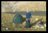
As we started only in the afternoon, and the climb was quite long, it
is the perfect (and now standard) bivouac stop.
|
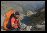
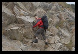
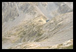
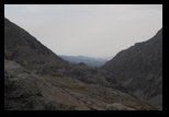
llooking back on Lac Blanc
|
Day 2 Col du lac de l'Agnel and
Col de Pagari, Lacs Jumeaux (twin lakes)
This is
fairly similar to the end of the 2006 trip, the pass is just in line
with the lakes, and quite easy, then followed by a descent onto the
"Lac Blanc" among big boulders. A bit strenuous with a heavy bag, but
well-marked (as usual on the Italian side, but forbidden in
Mercantour). This time, instead of going down all the
way to the lake, we take a left turn along a
level curve. This avoids the unpleasant part close to the lake,
but the 2 paths anyway meet in the end, close to the rivers...which are
pretty strong this time.
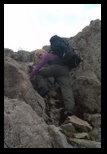
Before joining the lower path, a cable helps in crossing a stretch.
The wind is also becoming strong, and a good shelter is found for the
stove at lunch time.
We then follow the mule path to the Pagari refuge (and stop for a rest
and a chat with Alladar, see previous trips). The warden is as usual of
good advice, and, since we will be crossing the Pagari path and plan a
bivouac at Lacs Jumeaux (well above the Nice refuge), he confirms the
possibility to reach the Pas de la Fous from there without going down
all the way.
As is not uncommon, light spotty rain, some intermittent mists are
floating through the Pagari pass, but nothing serious enough to make
the passage dangerous.
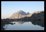
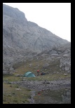
The wind is strong when we cross back into France, but quiets down by
the time we reach the twin lakes, below the pass. A good place to
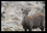
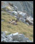
bivouac, while we hear the large Ibex move through the stones hundreds
of meters higher.
  |
|
Day 3
: Across
to "Pas de la Fous" and Lac Noir
The morning is nice, a bit crisp,
and we get quickly under way, knowing the weather is not expected to
stay very stable. From the outcrop just after the twin lakes, we take
left,
trying to keep on a level curve. We need to go a bit down, to avoid
rocky outcrops, and then among varied terrain to reach the dale leading
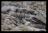
to Pas de la Fous. We cross a number of chamois. This is a
very undisturbed area, as the itinerary is in no way marked. After a
while, we spot the ascending path, and cross to it. (marked
in white)
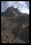 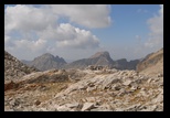
It is then a simple matter (meeting
back one of my previous itineraries) to reach the pass, (the french
word "pas", which means "step", is one of the many used to refer to a
pass), keeping however an eye on the weather. From there, it is a
well-marked (but sometimes steep) descent to the Lac de la
Lusière (with mixed bivouac memories in previous years).
With our larger Nallo3 tent, and the weather unstable, we prefer to
just have lunch there, and to make it to the main valley, where we make
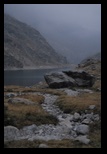
our bivouac close to Lac Noir (the middle one). This night we have a
couple of tents around, ... quite expected, we are on one of the main
paths in Mercantour. Some rain overnight...
|
|
Day 4
: Baisse
de Fontanalbe to Casterino
Another favorite
itinerary...While a standard path, particularly for day hikers, it is
so scenic that I like to take it as an exit way. If the weather allows,
it is also a good opportunity to see the rock carvings above the refuge
de Fontanalbe (in fact, more spectacular than the Vallée des
Merveilles). But the weather is not with us, it has rained
overnight, and an intermittent drizzle persists. We still get under
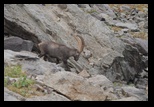
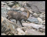
way. The path ascends quickly, and a long-horned Ibex ambles by. After
the "baisse de Fontanalbe" (another word for a pass), we go through a
very scenic area, this time less spectacular but more mysterious with
some lingering whiffs of mist. Plenty of chamois, marmots, ...
The rain is never heavy , but persistant, and makes it difficult to
open the raingear.
It gets pretty cold when we reach the conservation area with the rock
carvings, and they are actually more difficult to distinguish than
usual, now that the rocks are all wet and shining.
We take some warm drinks in the Fontanalbe refuge (we learn that the
keeper is the wife of the keeper of "Merveille", but the contrast
between the small, cozy and friendly Fontanalbe and the large and
over-used Merveilles could not be stronger).
By the way, here, there is some indication of a weather forecast on the
board outside the refuge ... but for several years, it reads simply
"variable"
|
Tje
|
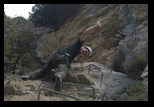
Later: Via Ferrata in Entracque
I am no great fan of Casterino, where heavy
tourism has a clear influence on the hotels, and prefer to move
directly to Entracque (where I had a very nice welcome the year
before). We take "half board" in Hotel Miramonti, (you may have to
insist a bit, and it is often only available if you stay a
minimum number of days), and enjoy a simple but delicious cooking.
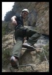
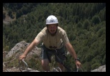
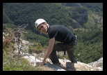
The Via Ferrata is very nice (and free of charge; equipment is
available for rent from the sports shop for a minimal fee), with
however a rather long approach (close to one hour, if I remember).
Various stretches, with different levels of difficulty are possible.
The orientation is such that the main climb can usually be made in the
shadow,
and in any case, once at the top, the wind can be quite refreshing...
spectacular views on the Argentera area!
|
|
Day Off:
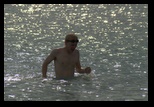
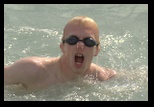
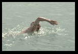
Just to rinse off the dust of the trail, (and to allow for
a stop on the way to Nice airport) we make a halt in Ventimiglia. Of
course, the price of hotels is here at least the double from Entracque,
and, although the crowds are not really buzzing in this late season,
the difference is striking. Still, Ventimiglia has a few public
beaches, and the water is great.... nice to stretch the muscles for a
change!
|
|
|
